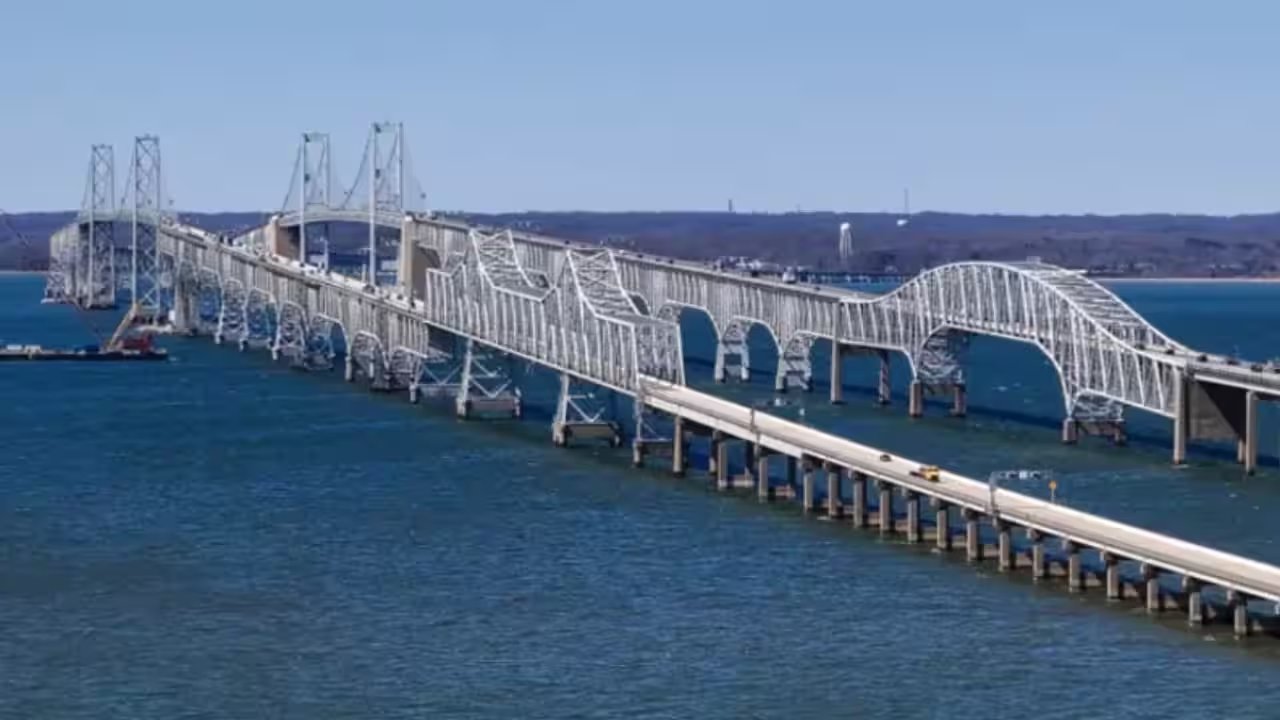
In December, the Maryland Transportation Authority Board voted to move forward with a plan to replace the existing Chesapeake Bay Bridge with two new four‑lane spans that would also widen Routes 50 and 301 to eight lanes. The new bridges promise full shoulders and higher clearance for larger vessels, while a shared‑use path for cyclists and pedestrians is in the design. Final design work is slated to begin in 2028, with construction slated for 2032.
But the plan has hit a strong backlash from Eastern Shore farmers, who fear the new bridge will trigger a flood of development. The MTA report points to more than 111,000 acres of farmland, forest, and waterways in Caroline, Queen Anne's and Talbot counties that could be lost. These counties together supply roughly 22% of Maryland's agricultural sales.
Jay Falstad, executive director of the Queen Anne's Conservation Association, says the state should allocate a few hundred million dollars for land preservation. He argues that the $400 million fund would protect Queen Anne's and Caroline's grain‑producing lands, which currently retain about 40% of their original farmland.
Carol Bean of the Eastern Shore Land Conservancy says the preservation fund is still a concept, with no formal agreement yet. She urges the Maryland Department of Transportation to weave the fund into the formal record of decision that could arrive as early as this fall or early winter.
Stephen Kraszewski, owner of Mason Farms Produce, says the bridge route runs through Kent Island and feels the farmers' livelihood is under threat. He urges the state to act before the bridge catalyzes a subdivision wave that would erode his county's rural character.
The next step will be a state‑wide meeting in the fall to decide whether to earmark $400 million for a land‑preservation fund, a move that could alter the bridge’s environmental footprint.