Cyclone MurasuOdishaIMDWeather AlertAndhra Pradesh
Cyclone Murasu Hits Andhra Coast; IMD Bans Fishing, Warns Odisha of Heavy Rain
Published: November 2, 2026
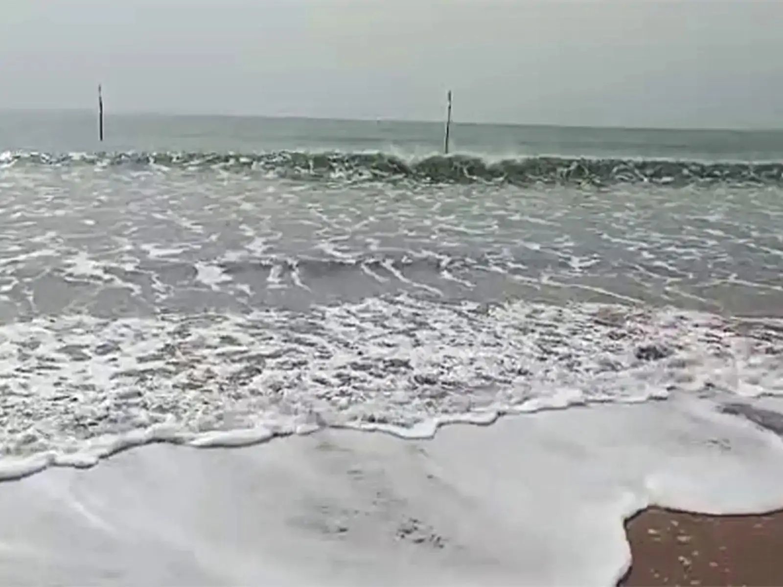
Cyclone Murasu is set to cross the south Andhra Pradesh coast between Ongole and Nellore late Monday night, bringing sustained winds of 100-110 kmph. The IMD has issued a red alert for fishermen and warned of heavy rainfall in five southern Odisha districts through November 4.
Cyclone Murasu will strike the south Andhra Pradesh coast between Ongole and Nellore toward Narsapur between late Monday night and early Tuesday morning. The India Meteorological Department (IMD) confirmed the storm's path in a midday bulletin, noting it was centered 160 kilometres east-southeast of Nellore at 8:30 AM Monday, moving northwest at 22 kmph. Expect sustained winds of 100 to 110 kmph at landfall, with gusts slicing through 120 kmph.
The impact spills directly into Odisha. IMD Director for Bhubaneswar, Manorama Mohanty, warned that heavy rainfall will hit Ganjam, Gajapati, Rayagada, Koraput, and Malkangiri on November 3 and 4. Thunderstorms and lightning will accompany gusty winds of 40 to 50 kmph, peaking at 60 kmph, in Puri, Khurda, and Nayagarh. Northern districts like Balasore and Cuttack face lighter but persistent winds of 30 to 40 kmph.
Authorities have issued a strict no-go zone for maritime activity. Fishermen are barred from venturing into the northwest Bay of Bengal and adjoining south Odisha coastal waters from Monday evening until the afternoon of November 4. Coastal wind speeds will hit 50 to 60 kmph, with dangerous gusts up to 70 kmph. The ban remains in effect until the storm's core passes.
Rainfall activity will taper off only after the immediate danger zone passes. Light to moderate showers will linger in isolated spots on November 5 and 6. Dry weather is forecast to return by November 8, clearing the skies for the state.