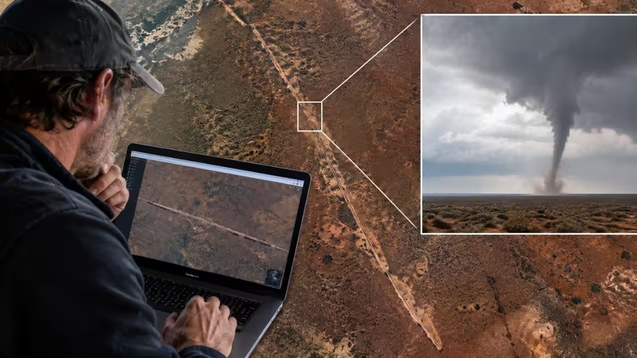
An Australian caver discovered an 11‑km-long scar on the Nullarbor Plain while scanning Google Earth, a feature that surveys later dated to a tornado that swept the region on Nov 16‑18 2022.
The scar, 160–250 m wide, lies 22 km north of the Trans‑Australian Railway and 90 km east‑northeast of Forrest, a former railway settlement, and shows no signs of human activity.
Matej Lipar of the Slovenian Academy of Sciences and Arts, co‑author of the study, said the satellite images from Nov 16‑18 revealed the scar’s sudden appearance, correlating with a storm system moving across the remote plain.
Physical evidence, including cycloidal debris patterns and soil erosion, points to a tornado of F2‑F3 intensity, wind speeds over 200 km/h, and a ground contact lasting between seven and thirteen minutes.
The lack of eyewitnesses is expected, given the plain’s sparsity; only three tornadoes have ever been recorded there, all in November, and the dry conditions preserved the scar for at least 18 months.
The Journal of Southern Hemisphere Earth Systems Science published the findings, and the team urges expanded tornado monitoring in Australia’s arid regions, which could reshape regional weather forecasting.