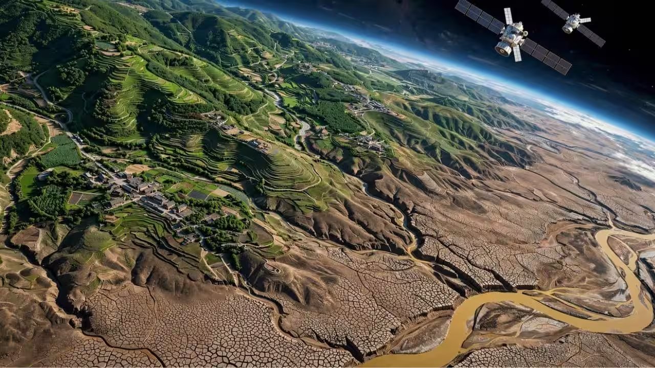
China’s Loess Plateau, a 640,000‑sq‑km expanse in the upper Yellow River basin, has long battled soil erosion and water scarcity. The government launched a massive afforestation drive in 1999 that, by 2003, had accelerated vegetation growth across the plateau. Yet satellite data show groundwater storage falling sharply over the same decade, a trend statistically significant with a p‑value below 0.01.
The team leveraged GRACE satellite observations and GLDAS surface‑water metrics to isolate groundwater anomalies, then applied the GWSA‑DSI index to quantify drought severity. By cross‑referencing these figures with NDVI, a proxy for vegetation density, they could map drought hotspots with unprecedented resolution.
Their analysis revealed that NDVI changes correlated more strongly with groundwater drought than any meteorological variable at annual, seasonal, and monthly scales. The correlation was most pronounced near key restoration zones, indicating that the rapid greening was draining aquifers faster than precipitation could replenish them.
The implications ripple beyond science. Farmers in the region already face water‑limited conditions; intensified drought threatens crop yields and livelihoods. Ecologists warn that continued afforestation without water‑budget adjustments could collapse the fragile ecosystem that the restoration aimed to protect.
In response, the Ministry of Ecology and Environment is slated to convene a policy review by early 2027, seeking to balance forest cover goals with sustainable groundwater use. The study’s authors call for an immediate assessment of afforestation impacts to safeguard the plateau’s water resources.