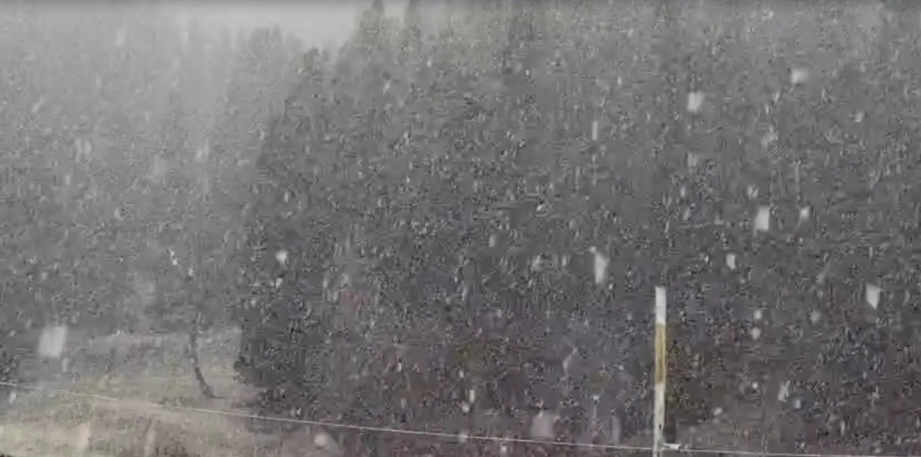
A fast-moving western disturbance dumped the season's first heavy snowfall across Kashmir’s upper reaches overnight, forcing authorities on Thursday to shut the strategic Srinagar-Leh national highway after deep drifts choked the Zojila Pass.
The chill was immediate.
Down in the plains, persistent rain pelted summer capital Srinagar and adjoining districts from dawn, dragging day temperatures down by several degrees and snapping a prolonged autumn dry spell across the valley. Snow accumulated rapidly along the Pir Panjal range and northern ridges, covering the tourist hubs of Gulmarg and Sonamarg in thick white sheets while sweeping through the higher reaches of Kupwara, Gurez, and the Mughal Road in south Kashmir's Shopian district.
Mountain transit collapsed under the sudden precipitation. Snow accumulation along the exposed turns of the Zojila Pass prompted transport officials to halt all vehicular movement on the Srinagar-Leh artery, cutting off road transit to Ladakh.
Further north, heavy showers loosened hillside soil along the Uri-Baramulla National Highway. A massive landslide tore down the slopes at Rajanwani, hurling boulders and mud onto the carriageway.
The collapse stopped traffic in its tracks.
Dozens of passenger vehicles and freight trucks remained stranded on both sides of the corridor as earthmovers and disaster response teams moved in to clear the debris. Officials confirmed that clearance operations began immediately, though intermittent falling rocks hampered early recovery efforts.
| Highway Corridor | Location Affected | Disruption Cause | Operational Status |
|---|---|---|---|
| Srinagar-Leh National Highway | Zojila Pass | Heavy overnight snow accumulation | Traffic suspended |
| Uri-Baramulla National Highway | Rajanwani | Rain-triggered landslide and boulder fall | Blocked; clearance underway |
| Mughal Road | Shopian sector | High-altitude snowfall | Vehicular movement disrupted |
Relief will not be immediate. The Meteorological Department warned that the western disturbance will maintain its grip across the region through Friday afternoon, bringing widespread light to moderate rain across the valley floor and additional snow to elevated terrain.
Meteorologists noted that isolated pockets could witness moderate to heavy precipitation before the current system weakens.
Conditions will briefly settle before a weaker weather system tracks across the region between November 14 and November 15, bringing another round of light rain and snow to scattered locations. Forecasters project a prolonged dry window will finally take hold from November 16 through November 20, offering administration crews an opening to stabilize high-altitude passes.