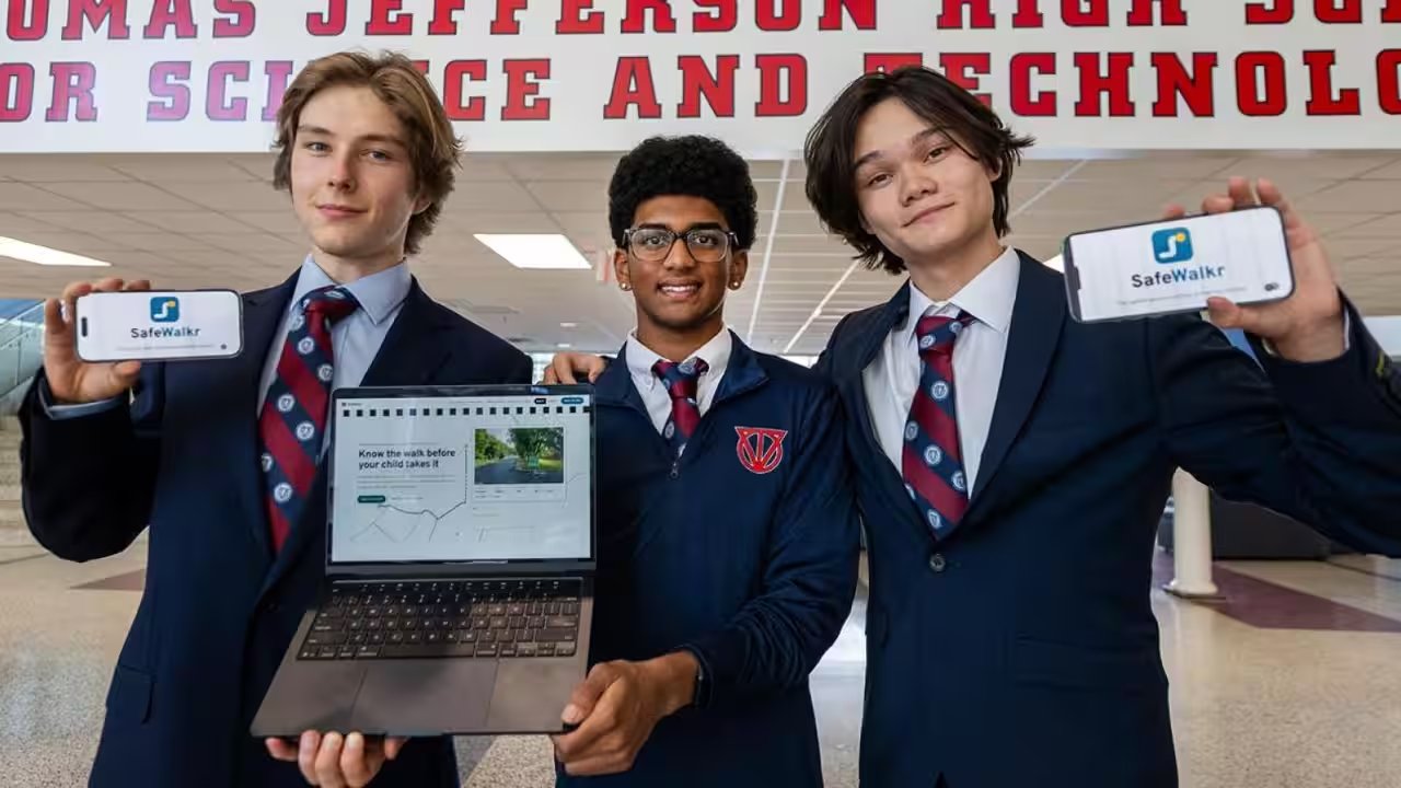
When Daniil Prokofev’s eight‑mile walk home on Braddock Road turned into a near‑dangerous trek, Google Maps had steered him past a stretch without sidewalks and into heavy traffic. That night, he and two classmates—Ashwath Muppa and Isaac Leetyn—confronted the same problem at Thomas Jefferson High School during HackTJ, the annual coding competition.
The trio used Python, JavaScript and C++ to build an algorithm that weighs safety metrics—crosswalk density, traffic volume, sidewalk coverage—against travel time. Drawing on data from Fairfax County records and Google Maps imagery, the system maps routes that prioritize pedestrian safety over sheer speed.
Principal Mike Mukai pushed the project beyond the hackathon, linking the students with Becky Gray of the county’s Safe Routes to School team. Chief Technology Officer Gautam Sethi guided the site’s cybersecurity, while Chief Safety Officer Brian Lambert helped design operational protocols. Math teacher Sewon Yang acted as advisor, securing funding and refining the interface.
SafeWalkr will serve families in walking zones of 14 FCPS schools—from Annandale Terrace to Justice High—launching on National Walk and Roll to School Day, May 28. Parents can download the mobile‑friendly site, submit feedback, and the data will feed into a broader county deployment next spring.
One parent, Maria Lopez, told reporters that the app has changed her routine: "I used to dread letting my daughter walk to Northside Elementary alone," she said. "Now I know the route is vetted for safety, and that gives me peace of mind."