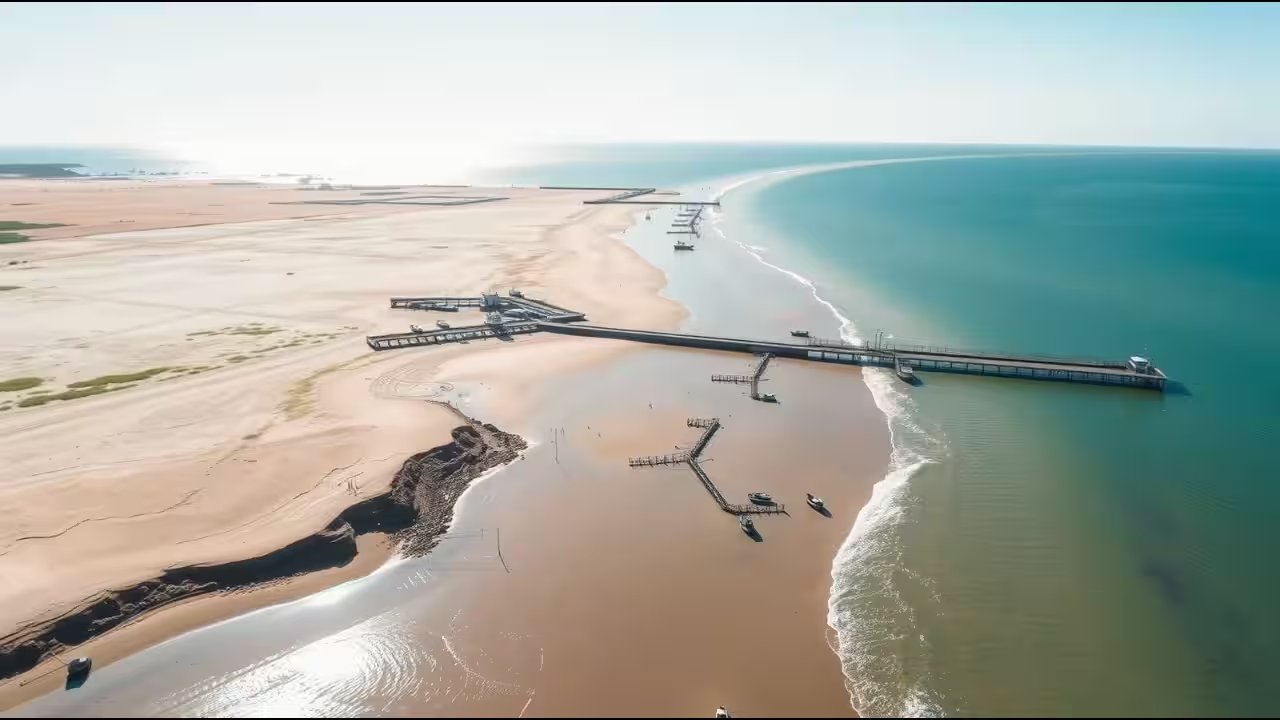
The 400-metre fishery pier at Ban Khlong Wan didn't just disrupt local fishing; it physically rewrote the map of the Thai coast. Published in Scientific Reports on August 22, 2025, a new study reveals that the structure trapped sand on its updrift side, pushing the Wa Ko coastline out by as much as 250 metres. This wasn't a slow, imperceptible shift. It was a violent geological reshuffling, adding roughly 40,000 square metres of dry land to the map.
Before the infrastructure boom, the coast was a different beast. From 1966 to 2002, 82.5% of the nearby Khlong Wan transects were retreating, losing ground at a steady −0.28 metres per year. Then the construction began. The Harbour Department built twelve detached breakwaters between 2007 and 2008. Khlong Wan Municipality raised a seawall in 2005. The 700-metre breakwater and the pier changed the flow of sand. The researchers noted that sediment moved predominantly from south to north, but the pier acted like a dam, holding that sand in place.
The result was a split personality in the coastline. South of the pier, the beach exploded outward. The accretion rate hit a staggering 12 metres per year. North of the pier, the dynamics shifted. Here, the Khlong Wan coastline saw 96.8% of its length accreting after development, a massive reversal from the pre-construction era where only 8% was growing. Part of this northern growth was artificial. The Harbour Department dumped 90,500 cubic metres of sand to fight erosion, but the natural shift in sediment transport played a huge role too.
It’s not just a story of concrete and sand. The upstream landscape changed, too. A wetland covering 180 hectares, just 3 kilometres up the river, was converted for land use. This altered the fine sediment entering the Khlong Wan Channel. The study argues that you can't blame the pier alone. It’s a complex interplay of infrastructure, wetland loss, and aquaculture that transformed the shore. The pier stopped the flow; the land use change fed it.
The growth has since stalled. Data shows the seaward advance halted by 2021. The pier reached a kind of geological equilibrium after 13 years. Now that the sediment budget is balanced, the coastline has settled into a new, wider shape. The next phase for Ban Khlong Wan isn't about where the beach ends, but how the municipality manages this newly created, 40,000-square-metre strip of land that didn't exist two decades ago.