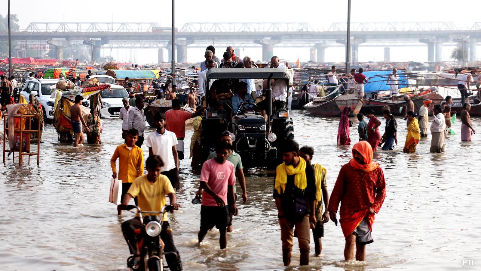
The wet spell has turned parts of Uttar Pradesh into a disaster zone. The state’s Office of Relief Commissioner confirmed 56 deaths and 46 injuries on Monday. The heavy downpour, accompanied by surface winds hitting 40 km/h, toppled trees, snapped electric poles, and submerged villages in Kanpur, Varanasi, Prayagraj, Gorakhpur, and Bareilly.
The numbers are staggering against the backdrop of normalcy. The state, which typically sees just 1.8 mm of rain per day, recorded 45.1 mm in a single 24-hour stretch ending Sunday morning. Fifty-six of the state’s 75 districts flagged excessive rainfall. It wasn’t just rain; it was a meteorological anomaly.
Dr. Akhil Srivastava, a Senior Scientist at the India Meteorological Department (IMD), explained the mechanics behind the deluge. A 'Deep Depression' formed over the Bay of Bengal, crossed the North Andhra Pradesh-South Odisha coast, and pushed northwest into Northeastern Madhya Pradesh before entering Southeastern Uttar Pradesh. By 5:30 AM on September 27, the system had degraded into a 'Well-Marked Low-Pressure Area' over central UP. But that wasn’t the only player.
A 'Western Disturbance'—an extratropical storm originating from the Mediterranean and Black Sea regions—arrived simultaneously. Dr. Srivastava said this cold, upper-tropospheric trough collided with the tropical moisture pushing up from Madhya Pradesh. The interaction amplified atmospheric instability, triggering torrential downpours and cloudburst-like events across the Terai belt. It’s a rare convergence. The monsoon was withdrawing from North-West India just as this new system hit.
The impact is already visible on the ground. The Ghagra and Rapti rivers have crossed critical warning marks at several stations, threatening low-lying agricultural belts. In Kanpur, residents stood in partially submerged houses along the Pandu River. Dr. Srivastava noted the intensity has declined as of Monday, September 28, with no specific warning for Eastern UP. The low-pressure area is moving north-northwestward and will dissipate into a simple low-pressure system within 12 hours.
Conditions should normalize by early October. But the damage to crops is a pressing concern right now. Agricultural authorities have instructed farmers to drain standing water from rice, maize, sugarcane, and pulse crops immediately to stop root rot. Residents are also warned to avoid shelter under isolated trees due to active lightning risks.