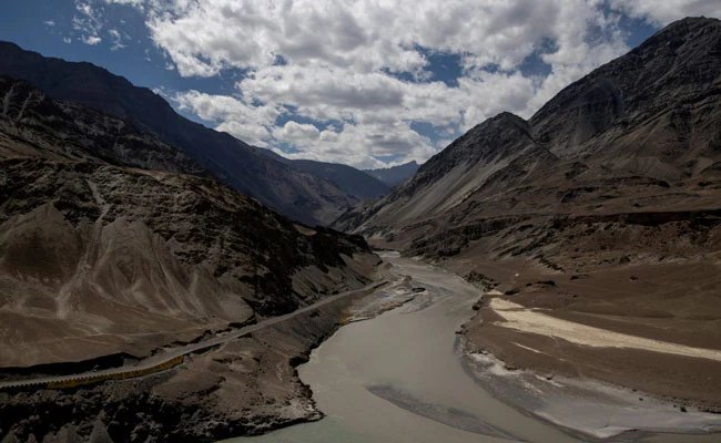
The Ministry of Home Affairs released a list of 28 geographic features in Ladakh that will be added to the Survey of India’s official map.
China had lodged objections to the mapping, arguing that the names used could imply territorial claims.
After consultations with local authorities, the central government chose standardized names for peaks, passes, land areas and water bodies to ensure consistency with national cartographic conventions.
By codifying these features, New Delhi signals that Ladakh remains an integral part of India, countering any suggestion that the territory is disputed.
The Survey of India will incorporate the names into its next cartographic release, while diplomatic channels remain active.