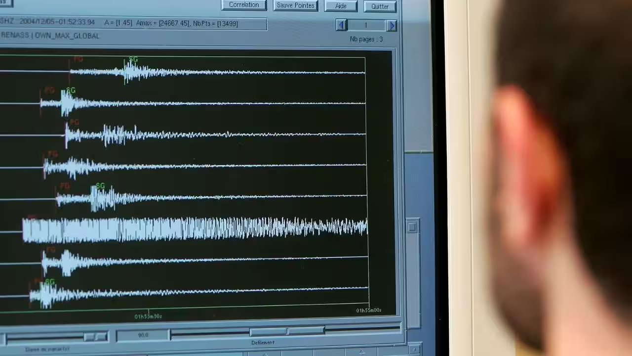
A magnitude 6.2 earthquake shook the Vanuatu archipelago on Sunday, October 25. The German Research Centre for Geosciences (GFZ) logged the tremor at a depth of 125 kilometres (78 miles) below the surface. That depth matters. Deep quakes often generate less surface shaking than their shallow counterparts, though the energy release remains significant.
Vanuatu sits squarely in the Pacific Ring of Fire, a zone defined by tectonic plate collisions that trigger frequent seismic and volcanic activity. The nation’s geography makes it a primary monitoring target for global seismic agencies. GFZ, the Berlin-based institution tracking worldwide seismic events, confirmed the magnitude and focal depth shortly after the event.
As of the latest updates, no data confirms casualties or infrastructure damage in Port Vila or surrounding islands. Authorities have not issued a tsunami warning, and local communication lines remain active. The absence of reported harm is promising but not definitive; island nations often face delays in transmitting damage assessments from remote communities.
Residents in the capital should monitor official channels for aftershocks, which are common following major tremors. The Vanuatu National Disaster Management Office will likely release a formal impact assessment within the next 24 hours.