On August 26, 2026, a massive glacier collapse north of Langtang Lirung unleashed a 5.9‑km rock‑ice avalanche that morphed into a flash flood, wiping out 72 km of valley and killing 1,451 residents.
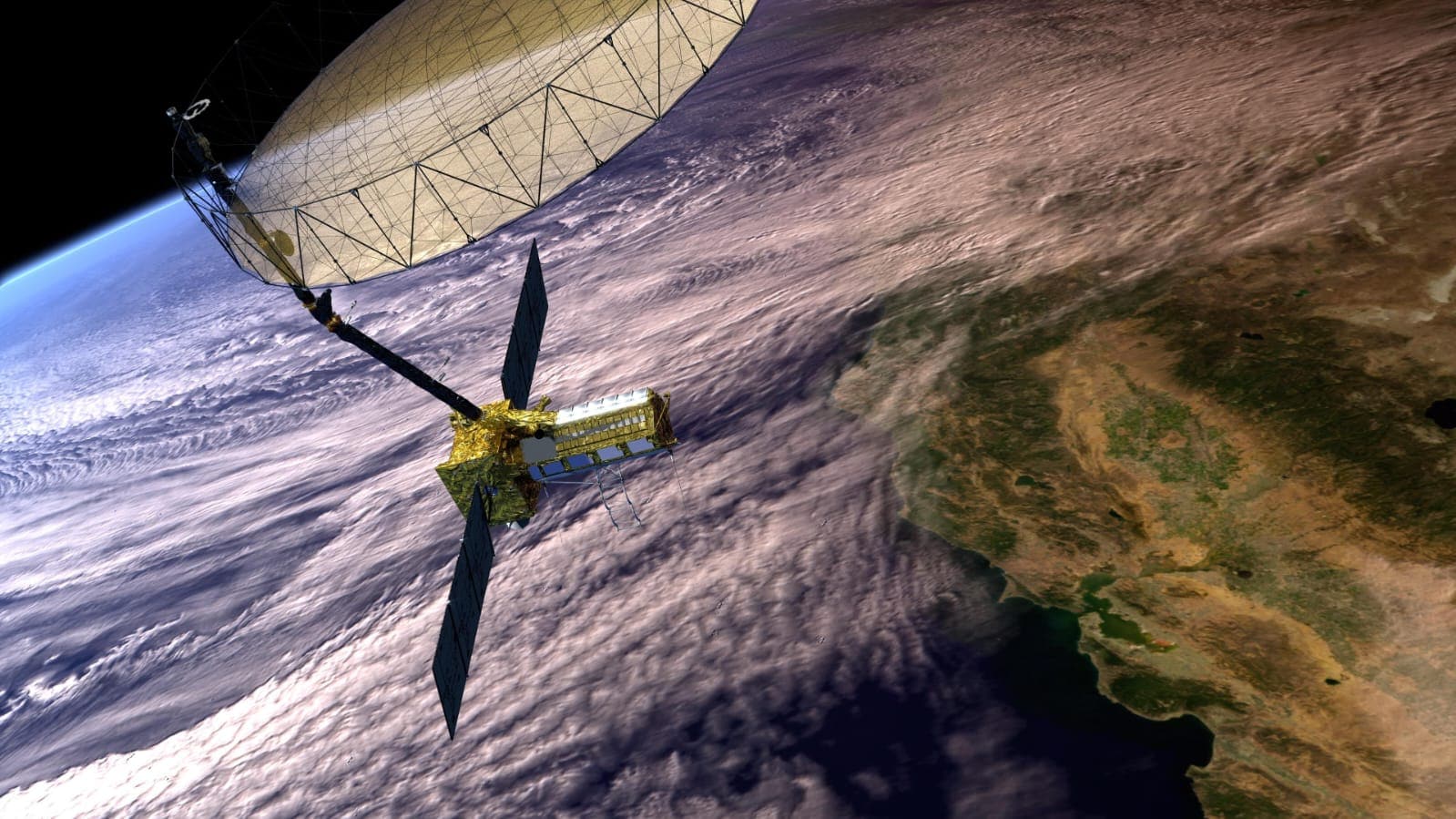
NASA‑ISRO’s NISAR, launched from Sriharikota on July 30, 2025, was designed to track Earth‑surface motion with millimetre precision; the 2,393‑kg craft has 12‑day revisit cycles and cost $1.3 billion.
Scientists at ISRO’s National Remote Sensing Centre ran a 12‑page study that revealed NISAR had recorded subtle ground shifts in the Rasuwa glacier weeks before the collapse, yet the data never triggered a warning.
In the remote village of Lhende, 200 families watched their homes vanish into the torrent; a mother named Sita Sharma lost her husband and five children, describing the shock as "the night the sky turned red and our lives turned to dust."
The Indian Ministry of Science and Technology announced a task force on September 10 to audit the real‑time data pipeline and to develop an AI‑driven alert system, while NASA’s data‑analysis director, Dr. Elena Vasiliev, pledged to share lessons with global partners.
Both governments plan to hold a joint review meeting on October 15, aiming to overhaul the satellite’s data‑interpretation protocols and to set up a permanent early‑warning centre for Himalayan glacial hazards.