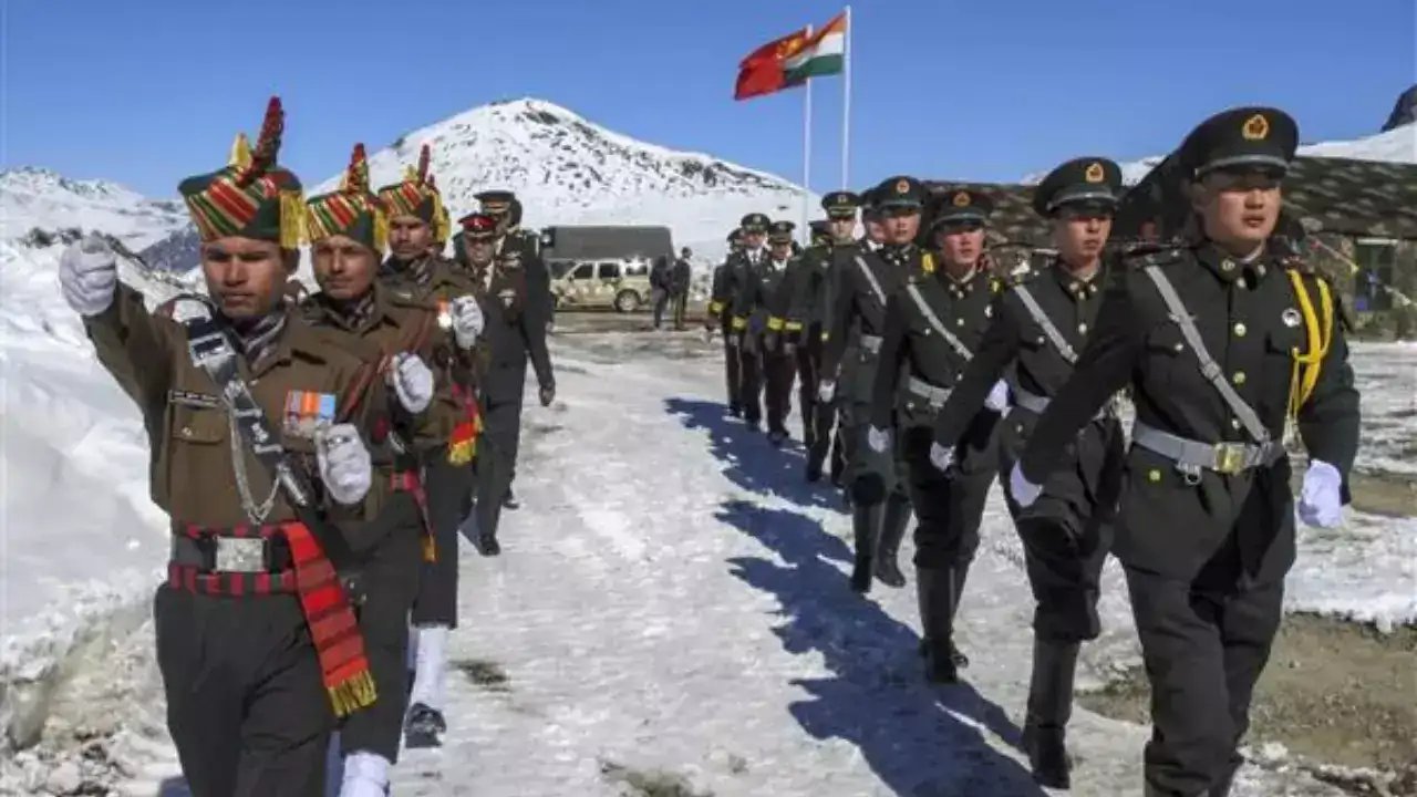
New Delhi has officially pinned 28 strategic coordinates to the Survey of India map. The list includes Gogra and Hot Spring, the very spots where Indian and Chinese troops clashed in 2020. It’s a precise bureaucratic move with a sharp military edge.
The government, acting in consultation with the Ladakh Union Territory administration, released the names to standardise cartography. "Government of India... has identified a total of twenty-eight (28) places/features," the statement read. These aren't just dots on a grid. They are high-altitude peaks, glacial valleys, and patrol routes that define the Indian position along the Line of Actual Control.
The selection carries heavy historical weight. Gogra and Hot Spring were central to the May 5, 2020 standoff in eastern Ladakh. The list also includes lesser-known but tactically vital spots like Alisha Giri, Kanishka Peak, and the Shachmirik Pass. Even Shamal Lungpa, a patrol route from the 1950s, made the cut.
Why the push now? The Ministry aims to facilitate accurate recognition and boost public awareness. By naming these features officially, New Delhi removes ambiguity from the border narrative. It’s a quiet assertion of administrative control over geography that often blurs in diplomatic talks. The phased disengagement began in 2022, but the map doesn't lie.
The full roster includes 26 other features like Brangsa, Chapchingal Pass, and Zorawar Peak. These names will now appear in official documents and public records. For the next phase, the Survey of India will integrate these updates into digital platforms, ensuring every citizen sees the same border lines as the defence establishment. No further diplomatic signals were issued alongside the map release.