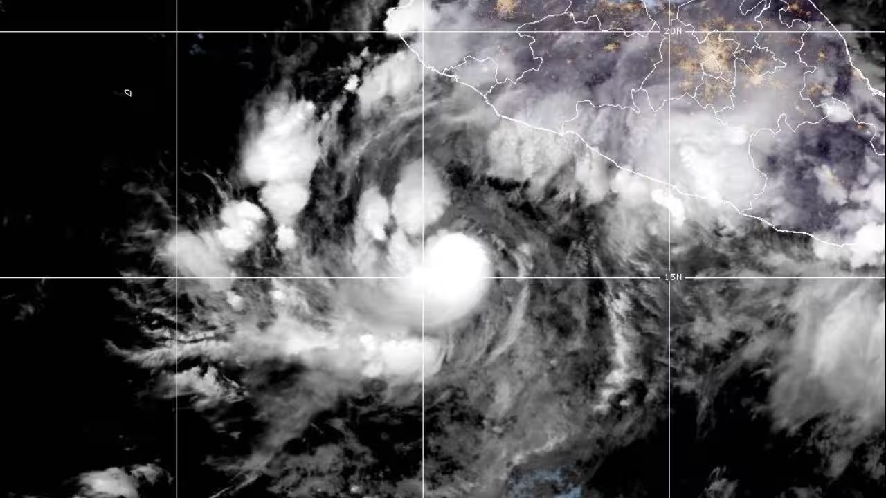
The US National Hurricane Center issued an urgent update on Friday, confirming Hurricane Simon is rapidly intensifying in the Pacific. Maximum sustained winds have hit 90 mph (150 kph), positioning the system 220 miles south of Manzanillo. The storm is not slowing down. It is accelerating toward the Mexican mainland with lethal force.
Forecasters expect Simon to upgrade to a Category 4 hurricane by Saturday. This shift transforms the threat from mere wind damage to a catastrophic event. The Miami-based center warns that as the system closes in on the coast, it will become a 'highly hazardous major hurricane.' The trajectory is direct. The timeline is hours, not days.
The impact zone stretches from Punta San Telmo in Michoacan to the luxury enclave of Punta Mita in Nayarit. A hurricane warning remains in force for this entire stretch. Mexican officials have urged residents in Guerrero, Michoacan, Oaxaca, Jalisco, and Colima to stay vigilant. The danger isn't just the wind. It's the water. Private forecaster AccuWeather predicts 18 to 24 inches of rainfall, a deluge that could trigger deadly floods and mudslides in vulnerable coastal regions.
Simon is currently tracking northwest, heading straight for the southwestern coast. Landfall is projected for early Sunday. The timing is critical for evacuation efforts and disaster response teams. Authorities in Jalisco and Colima are bracing for the worst-case scenario, where saturated ground gives way to the sheer volume of precipitation. The next 24 hours will determine the scale of the disaster.