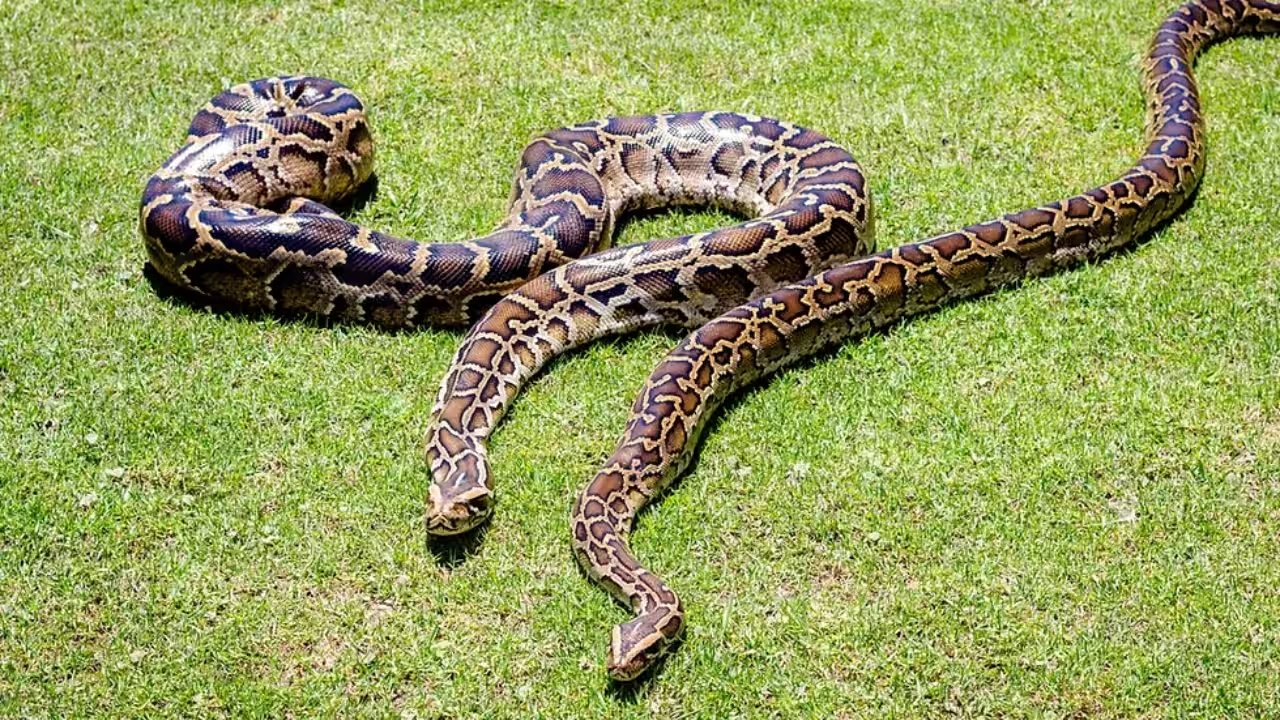
The University of Florida team, led by Brian Smith, fitted 13 Burmese pythons with satellite‑linked GPS tags in Everglades National Park, recording a 18.1% fix rate in 2018. The tags, programmed to attempt a location every 90 minutes, yielded an average of 14.5 positions per snake each week, a marked improvement over the single weekly fixes typical of radio telemetry.
When the tags succeeded, the data were remarkably precise: a mean accuracy of 7.3 m and a mean precision of 12.9 m, with only 0.2% of points falling beyond one kilometre. Researchers noted that the occasional outlier could be filtered out in analysis, but the overall quality underscored the potential of GPS biologging for large reptiles.
The low success rate stemmed from environmental and behavioural factors. Dense canopy reduced satellite visibility, as confirmed by fixed‑platform tags that mirrored the same pattern. Additionally, the pythons spent significant time underground or submerged, where signals cannot penetrate, turning missing fixes into indirect clues about habitat use.
Hardware issues compounded the problem: half the tags were either lost or malfunctioned, leaving no data from those individuals. Lead author Kristen Hart warned that such losses could bias population estimates, and advocated for dual‑system deployments combining GPS with high‑frequency radio tags to mitigate data gaps.
Looking ahead, the team suggests refining tag design to improve attachment durability and signal resilience, and applying the dual‑tracking approach to other invasive or threatened constrictors. The goal is to furnish wildlife managers with dense, reliable movement data to inform control and conservation strategies.