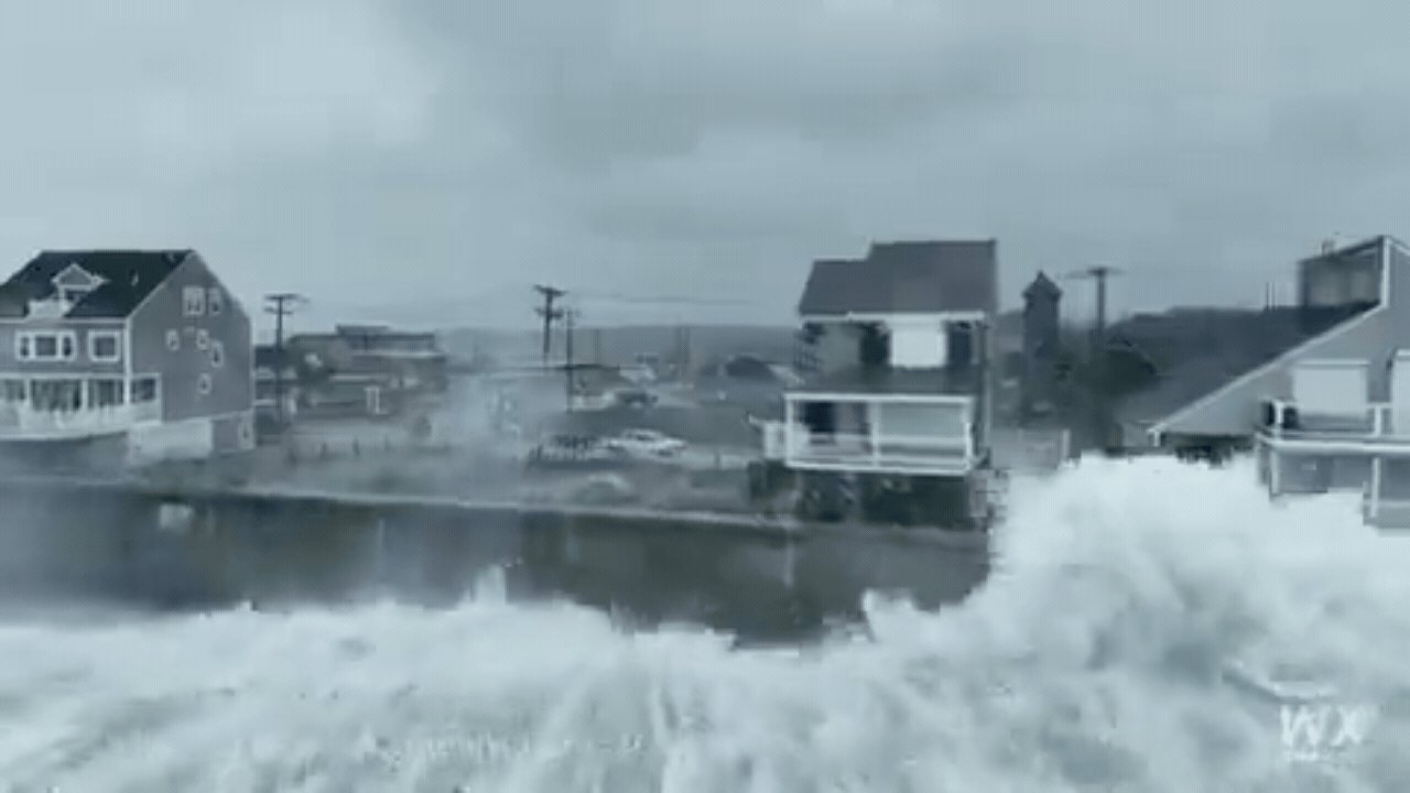
The storm didn't just hit the coast; it sat there, grinding against the seaboard. More than 100,000 customers lost electricity as trees and power lines snapped under the weight of wind and rain. By Saturday afternoon, 88,000 residents in New Jersey, Connecticut, New York, and Pennsylvania were still in the dark, navigating flooded streets that turned into rivers.
In Surf City, New Jersey, water is rising inside homes, tossing furniture and personal belongings against walls. The scene is a blur of gray water and debris. In Ocean City, Maryland, the surf didn't just wet the sand; it ate the dunes, washing away fencing and exposing private property to the open Atlantic. Vehicles in Norfolk, Virginia, are sputtering through knee-deep puddles, engines struggling against the weight of the water.
The sky above is a mess of logistics. FlightAware data shows 425 flights cancelled and over 1,300 delayed. Concerts are cancelled. Sporting events are rescheduled. The National Weather Service has issued a blunt warning: this isn't a quick pop and go. The system is moving slowly, dragging its feet along the coast. That means high tides, rip currents, and wind gusts will keep pounding the region through Monday.
Why this storm? It’s a classic nor’easter, fueled by the temperature war between cold northern air and warm Atlantic moisture. But there’s a bigger player in the background: El Niño. This year’s El Niño is particularly strong, shifting the jet stream southward and feeding energy into these Southeastern storms. A New York Times report suggests nor’easters are becoming more frequent in these El Niño years.
The danger isn't over yet. The highest tides hit north of Atlantic City from Saturday night into Sunday. Tens of millions of people remain in the storm's path. Emergency agencies are on standby, bracing for further outages and the inevitable cleanup. Forecasters note this system arrived earlier than usual for its strength, a sign of the shifting climate patterns that researchers are now closely monitoring.