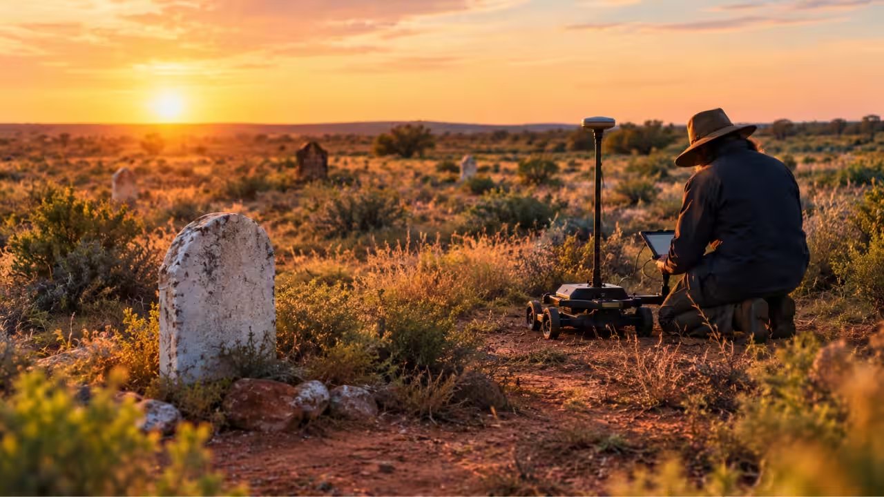
Central Darling Shire Council announced that 658 previously unmarked graves have been located at White Cliffs and Menindee cemeteries in July 2025 using non‑invasive geophysical scanning.
The project, funded and commissioned by the council, employed Hunter Geophysics’ radar‑based technology to map burial sites without digging.
By focusing on two remote outback communities in New South Wales, the survey uncovered 338 graves at White Cliffs and 320 at Menindee, a total that expands the known burial inventory by more than 200 records.
Local council officials said the findings will help safeguard these historic grounds, enabling planners to mark disturbed areas and avoid accidental incursions during routine maintenance or development.
A large rock monument has already been erected at White Cliffs, providing space for memorial plaques that acknowledge the newly mapped burial locations even though individual identities remain unknown.
The council plans to incorporate the geophysical data into its long‑term cemetery management plan, a move that could set a precedent for other remote Australian shires seeking to protect their heritage sites.