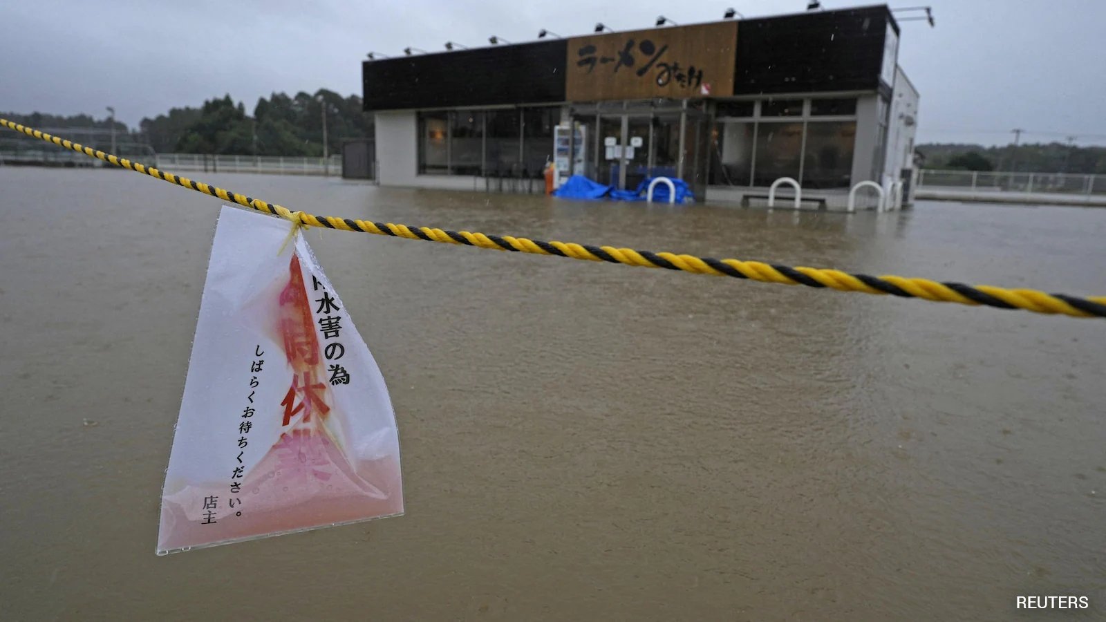
On Monday, the Japan Meteorological Agency (JMA) issued a landslide warning as Typhoon Dujuan approached the Kanto region, forecasting up to 300 mm of rain over the next 48 hours. The storm is expected to pass within 100 km of Tokyo by late afternoon, raising the risk of sudden floods and landslides.
Heavy showers have already soaked the Izu Islands and Chiba Prefecture, with some spots recording more than 12 inches of precipitation since Saturday. The JMA cautions that the rain pattern could intensify through Monday evening, especially as the typhoon nears the densely populated coastal belt.
Officials warn that linear rain bands—narrow swaths that can dump excessive rainfall over a short period—could form over Kanto and central Japan, a phenomenon that has caused flash flooding in recent years. Such bands could lead to rapid rise in river levels and potential road blockages.
The threat has already disrupted sporting events; the Asian Games' equestrian eventing competition was postponed to Tuesday, according to organizers in Aichi Prefecture. Local authorities have also activated emergency plans and set up evacuation centers.
Emergency services are on standby as the typhoon tracks toward the capital, and meteorologists will provide hourly updates. Residents are urged to stay indoors and heed evacuation orders if issued.