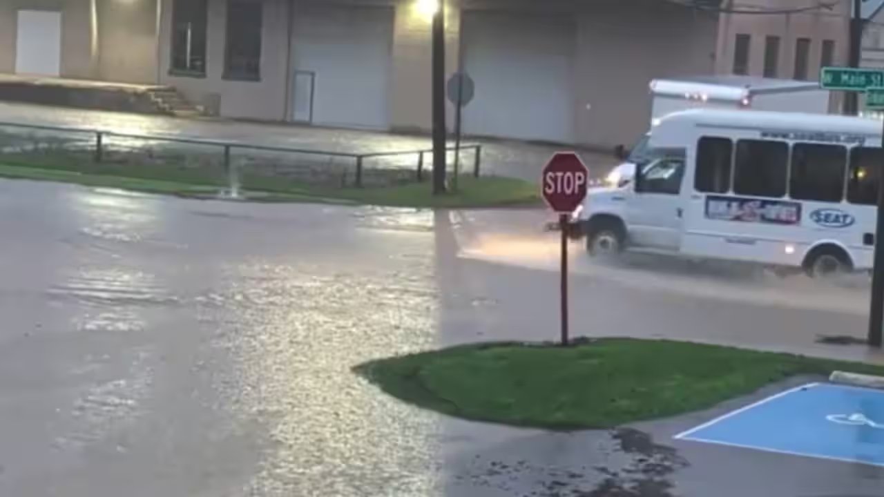
A severe thunderstorm that once threatened a tornado ripped through southeastern Ohio, but as it stuttered, the National Weather Service lifted the tornado alert while keeping a flash‑flood warning active until 6:30 a.m.
At 11:13 p.m. Sunday, the NWS issued a severe thunderstorm warning for eastern Vinton County and parts of southwestern Athens, northwestern Meigs, northeastern Gallia and northeastern Jackson counties, citing 97‑km/h wind gusts from radar.
Only a minute later, the tornado warning for east‑central Vinton and west‑central Athens was canceled as the storm fell below severe limits and no longer posed a tornado threat.
The flash‑flood warning remains in force across northeastern Vinton, southwestern Athens and northwestern Meigs, with 6.4 to 8.9 cm of rain already fallen and up to 7.6 cm more expected before 6:30 a.m.
Officials urge residents in McArthur, Albany, Zaleski, Carpenter, Radcliffe and Creola to seek sturdy shelters, avoid windows, and stay off flooded roads, while drivers are warned against traversing submerged streets.
County emergency services will monitor river levels and coordinate with the Ohio Division of Water Resources through the morning, expecting the warning to lapse at 6:30 a.m. as temperatures rise.